| File | Description | Size | Format | |
|---|---|---|---|---|
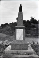
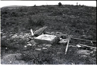
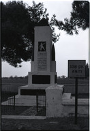
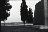
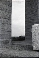
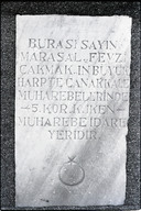
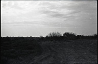
| TEGH115001.jpg | Mareşal Fevzi Çakmak Anıtı, Eceabat, Çanakkale. Koordinatlar: 40.087747, 26.249371 - Marshal Fevzi Çakmak Monument, Eceabat, Çanakkale. Coordinates: 40.087747, 26.249371 | 403.59 KB | JPEG | |
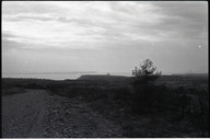
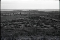
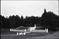
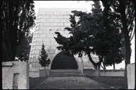
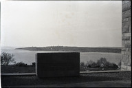
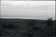
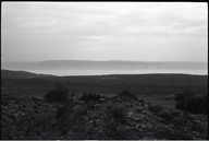
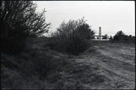
| TEGH115002.jpg | Alçıtepe'den Çanakkale Şehitleri Anıtı'nın görünüşü - View of the Çanakkale Martyrs' Memorial from Alçıtepe | 277.98 KB | JPEG | |
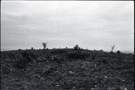
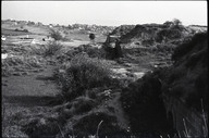
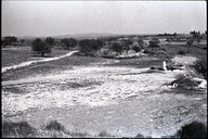
| TEGH115003.jpg | 388.97 KB | JPEG | ||
| TEGH115004.jpg | 882.54 KB | JPEG | ||
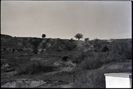
| TEGH115005.jpg | 387.18 KB | JPEG | ||
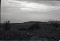
| TEGH115006.jpg | 628.69 KB | JPEG | ||
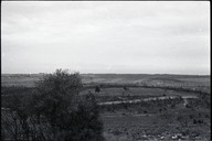
| TEGH115007.jpg | 310.85 KB | JPEG | ||
| TEGH115008.jpg | 718.03 KB | JPEG | ||
| TEGH115009.jpg | 398.86 KB | JPEG | ||
| TEGH115010.jpg | 336.99 KB | JPEG | ||
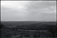
| TEGH115011.jpg | 331.88 KB | JPEG | ||
| TEGH115012.jpg | Alçıtepe'den Çanakkale Şehitleri Anıtı'nın görünüşü - View of the Çanakkale Martyrs' Memorial from Alçıtepe | 311.72 KB | JPEG | |
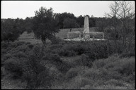
| TEGH115013.jpg | Son Ok Anıtı, Eceabat, Çanakkale. Koordinatlar: 40.098178, 26.222321 - Last Arrow Memorial, Eceabat, Çanakkale. Coordinates: 40.098178, 26.222321 | 323.12 KB | JPEG | |
| TEGH115015.jpg | Zığındere Sargıyeri Şehitliği, Eceabat, Çanakkale. Koordinatlar: 40.102005, 26.221721 - Zığındere Sargıyeri War Cemetery, Eceabat, Çanakkale. Coordinates: 40.102005, 26.221721 | 337.83 KB | JPEG | |
| TEGH115016.jpg | Nuri Yamut Anıtı, Eceabat, Çanakkale. Koordinatlar: 40.101420, 26.211340 - Nuri Yamut Memorial, Eceabat, Çanakkale. Coordinates: 40.101420, 26.211340 | 462.64 KB | JPEG | |
| TEGH115017.jpg | Nuri Yamut Anıtı, Eceabat, Çanakkale. Koordinatlar: 40.101420, 26.211340 - Nuri Yamut Memorial, Eceabat, Çanakkale. Coordinates: 40.101420, 26.211340 | 423.74 KB | JPEG | |
| TEGH115018.jpg | Nuri Yamut Anıtı, Eceabat, Çanakkale. Koordinatlar: 40.101420, 26.211340 - Nuri Yamut Memorial, Eceabat, Çanakkale. Coordinates: 40.101420, 26.211340 | 328.65 KB | JPEG | |
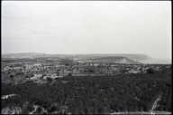
| TEGH115019.jpg | Çanakkale Şehitleri Anıtı'ndan Seddülbahir'in görünüşü - View of Seddülbahir from the Çanakkale Martyrs' Memorial | 305.7 KB | JPEG | |
| TEGH115020.jpg | 367.45 KB | JPEG | ||
| TEGH115021.jpg | 369.7 KB | JPEG | ||
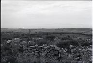
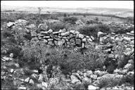
| TEGH115022.jpg | Ertuğrul Tabyası, Eceabat, Çanakkale. Koordinatlar: 40.044767, 26.180785 - Ertuğrul Bastion, Eceabat, Çanakkale. Coordinates: 40.044767, 26.180785 | 446.39 KB | JPEG | |
| TEGH115023.jpg | Yahya Çavuş Şehitliği, Eceabat, Çanakkale. Koordinatlar: 40.045169, 26.182619 - Yahya Çavuş War Cemetery, Coordinates: 40.045169, 26.182619 | 672.66 KB | JPEG | |
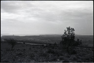
| TEGH115024.jpg | 388.44 KB | JPEG | ||
| TEGH115025.jpg | Alçıtepe'den Çanakkale Şehitleri Anıtı'nın görünüşü - View of the Çanakkale Martyrs' Memorial from Alçıtepe | 232.11 KB | JPEG | |
| TEGH115026.jpg | 268.9 KB | JPEG | ||
| TEGH115027.jpg | 294.27 KB | JPEG | ||
| TEGH115028.jpg | 468.87 KB | JPEG | ||
| TEGH115029.jpg | 290.61 KB | JPEG | ||
| TEGH115030.jpg | 428.57 KB | JPEG | ||
| TEGH115031.jpg | 567.24 KB | JPEG | ||
| TEGH115032.jpg | 452.31 KB | JPEG | ||
| TEGH115033.jpg | 569.04 KB | JPEG | ||
| TEGH115034.jpg | 276.69 KB | JPEG | ||
| TEGH115035.jpg | 470.88 KB | JPEG |
RIGHTS STATEMENT
Salt is a partner of Flickr Commons. All visual materials within Flickr Commons and digitized by Salt Research which are accessible via saltresearch.org are shared under the Creative Commons license:
This material is provided solely for the purpose of individual research. It can be used under Creative Commons Attribution-NonCommercial-NoDerivatives 4.0 International (CC BY-NC-ND 4.0) license. The terms specified hereunder:
• The creator or the licensor of the work should be stated in all copies,
• Copies of documents, or documents created from copies can not be used commercially,
• Documents can not be remixed, transformed or built upon.
For each use, credits should be given as stated in the record.
(e.g. Salt Research, Harika-Kemali Söylemezoğlu Archive)
For any rights requests outside of personal research purposes, please contact Salt Research via salt.research@saltonline.org

