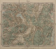
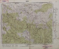
 | Mut haritası (1:200000) - Map of Mut (Scale 1:200000) | - | 1953 |
 | Burgaz Adası haritası (Mikyas 1:5000) - Map of Burgaz Island (Scale 1:5000) | - | - |
| İzmir haritaları - Izmir maps | - | - |
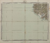
| Kalamış (4-K) (Mikyas - Scale 1:200000) | - | 1912; 1913 |
| Elmalı (5-F) (Mikyas - Scale 1:200000) | - | 1912; 1913 |
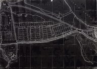
 | İzmit (2-L) (Mikyas - Scale: 1:50000) | - | 1915; 1916 |
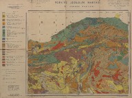
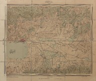
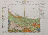 | Türkiye jeoloji haritası: Samsun (1:500000) - Geology map of Turkey, Samsun (Scale 1:500000) | Maden Tetkik ve Arama Enstitüsü tarafından yapılmış ve yayınlanmıştır - Prepared and published by the Institute of Mineral Research and Exploration Ankara-Turkey. | 1962 |
| Türkiye jeolojik haritası: II. Ankara paftası (Mikyas 1:800000) - Geological map of Turkey, sheet of Ankara II (Scale 1:800000). | Maden Tetkik ve Arama Enstitüsü hazırlanmış ve yayınlamıştır - Prepared and published by the Institute of Mineral Research and Exploration (Turkey). | 1942 |
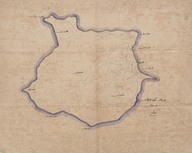
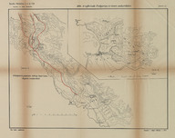 | 1912-1913 İşkodra Müdafaası. 1876-77 seferinde Podgoriça ve civarı muharebeleri. | - | 1933 |
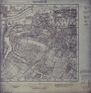
| Saarbrücken-Alt, Alt-Feldlage, Stiftswald, St. Johann [1: 5000] | Reichsamt für Landesaufnahme, Berlin - Fen İşleri Müdürlüğü, Berlin | - |