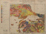
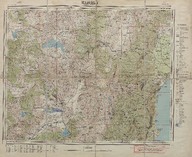
| Türkiye jeolojik haritası: I. İstanbul paftası (Mikyas 1:800000) - Geological map of Turkey, sheet of İstanbul I (Scale 1:800000). | Maden Tetkik ve Arama Enstitüsü tarafından yapılmış ve yayınlanmıştır - Prepared and published by the Institute of Mineral Research and Exploration (Turkey). | 1942 |
 | Elmalı haritası (Mikyas 1:200000) - Map of Elmalı (Scale 1:200000) | - | 1951 |
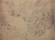
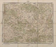 | Kaymas (Mikyas - Scale 1:50000) | - | 1915; 1916 |
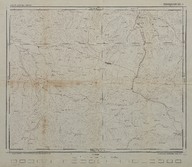
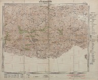 | Çölemerik haritası (1:200000) - Map of Çölemerik (Scale 1:200000) | - | 1951 |
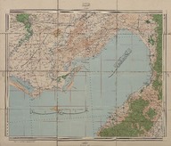 | Adana haritası (1:200000) - Map of Adana (Scale 1:200000) | - | 1917; 1918 |
| İstanbul haritaları - Istanbul maps | Kemali Söylemezoğlu | - |
| Türkiye jeolojik haritaları: Eskişehir (1:100000) - Geologic maps of Turkey: Eskişehir (Scale 1:100000) | Maden Tetkik ve Arama Enstitüsü Genel Direktörlüğü - General Directorate of Mineral Research and Exploration Institute (Turkey) | 1946 |
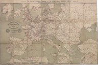 | The Electric Telegraph Company map of the telegraphes lines of Europe | Drawn and graved by Day&Son Lith. | 1867 |
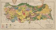 | Türkiye jeoloji haritası - Geology map of Turkey | Malik Sayar, Malik Ongan | - |
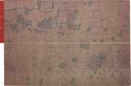
| Sultanahmet civarının kadastro planı, H-6. pafta şehir haritası - Cadastral plan of Sultanahmet around, H-6st plate city map | - | - |