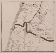
 | Map of secretly allocated troops of the ‘Armée Française du Levant’ [French Army in the East]. The map shows the region including the territory of Southern Lebanon, Southern Syria and the Northern British Mandate of Palestine and Transjordan | ‘Bureau Topographique de l’Armée Française du Levant’ (Topographic Office of French Army in the East) | 1924-12 |
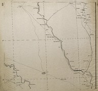
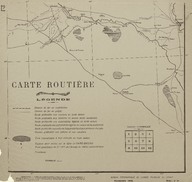 | Route Map (Carte Routière) of the region is south-west of Baghdad (Iraq). | ‘Bureau Topographique de l’Armée Française du Levant’ (Topographic Office of French Army in the East) | 1924-11 |
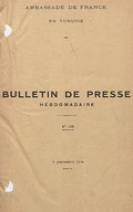
| Bulletin de Presse, issues 54-68. | - | 1926-08-15; 1926-11-21 |
| Bulletin de Presse, issues 84-98. | - | 1927-03-13; 1927-06-19 |
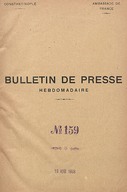
| Bulletin de Presse, issues 159-173. | - | 1928-08-19; 1928-12-30 |
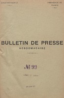
| Bulletin de Presse, issues 99-113. | - | 1927-06-26; 1927-10-02 |
| Bulletin de Presse, issues 206-221. | - | 1929-09-07; 1929-12-31 |
| Bulletin de Presse, issues 190-205. | - | 1929-04-28; 1929-08-31 |
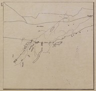 | Route Map (Carte Routière) of the Syrian Desert region encompassing the territory from the west of Baghdad to Syrian border. | ‘Bureau Topographique de l’Armée Française du Levant’ (Topographic Office of French Army in the East) | 1924-11 |
 | Route Map (Carte Routière) of the region is north of Baghdad (Iraq). | ‘Bureau Topographique de l’Armée Française du Levant’ (Topographic Office of French Army in the East) | 1924-11 |